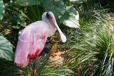
Lizenzfreies Stockfoto - Roseate Spoonbill Rosalöffler Vogel 

Media-ID: 6208986
Nutzungsrecht: Kommerzielle und redaktionelle Nutzung
Roseate Spoonbill Rosalöffler Vogel
| Vorschau | 402x268 Pixel |
Varianten
Mediainfos
|
Dieses Bild mit unserem Kundenkonto ab 0,95 € herunterladen!
|
||||
| Standardlizenz: JPEG | ||||
| Format | Bildgröße | Netto | Brutto | Preis |
|
Web XS 0,15 MP |
475x316 Pixel 16,76x11,15 cm (72 dpi) |
3,40 € | 3,64 € | |
|
Web S 0,5 MP |
867x577 Pixel 30,59x20,36 cm (72 dpi) |
5,40 € | 5,78 € | |
|
Print M 2 MP |
1734x1154 Pixel 14,68x9,77 cm (300 dpi) |
8,40 € | 8,99 € | |
|
Print L 4 MP |
2452x1632 Pixel 20,76x13,82 cm (300 dpi) |
11,40 € | 12,20 € | |
|
Print XL 11,2 MP |
4117x2740 Pixel 34,86x23,2 cm (300 dpi) |
14,40 € | 15,41 € | |
| Merchandisinglizenz: JPEG | ||||
| Format | Bildgröße | Netto | Brutto | Preis |
|
Web S 0,5 MP |
867x577 Pixel 30,59x20,36 cm (72 dpi) |
26,40 € | 28,25 € | |
|
Print XL 11,2 MP |
4117x2740 Pixel 34,86x23,2 cm (300 dpi) |
81,40 € | 87,10 € | |
| Media-ID: | 6208986 |
| Hinzugefügt am: | 19.08.2015 14:53:38 |
| Aufrufe: | 77 |
| Kamera Marke: | |
| Kamera Modell: | |
| Kategorie: | Vögel |
| Beschreibung: | Roseate Spoonbill, Rosalöffler, Vogel, Gattung, Art, rosa, pink, weiß, Löffel, Schnabel, Nase, Schreitvogel, Ibisvogel, Vögel, Löffler, Färbung, Gefieder, Stelzenbeine, Schnabelansatz, Feuchtgebiete, Florida, Everglades, |
Nutzungslizenz
| Nutzungsrecht: | Kommerzielle und redaktionelle Nutzung |
| Modelrelease: | nicht vorhanden |
| Propertyrelease: | nicht vorhanden |
Userinfos
| Hinzugefügt von: | AlexClip |
| Weitere Medien von AlexClip |
Bewertung
| Bewertung: |
|
Suchbegriffe
| Keywords: |
Clips


